PyroWISE engine · sign-up required
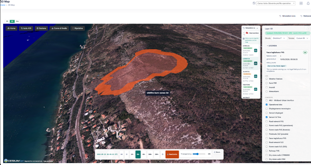
Model the wildfire before it spreads.
The Karst Firewall simulator runs PyroWISE wildfire-spread models on the real cross-border terrain — nowcasts from live weather, what-if scenarios, and replays of historical wildfires to support prevention and intervention planning.
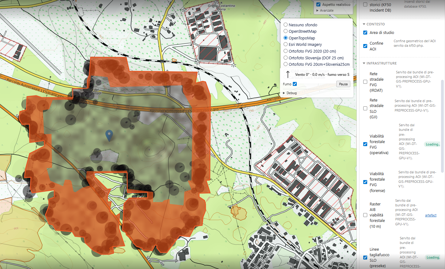 Live run · perimeter + smoke